How To Plan A Hike To Mount Rwenzori?
How To Plan A Hike To Mount Rwenzori?
How To Plan A Hike To Mount Rwenzori? Mount Rwenzori is one of the three highest summits located in Uganda, near the border with the Democratic Republic of Congo. The Rwenzori ranges are known as the “Mountains of the Moon,” a name given by Claudius Ptolemy, the Greco-Roman scholar considered the father of geography and an astronomer. He called mount Rwenzori the Mountains of the moon because of striking glaciers that shine like little moons.
Mount Rwenzori derives its name from the local word “rainmaker.” It’s the first peak of Margherita; it was derived from the queen of Italy.
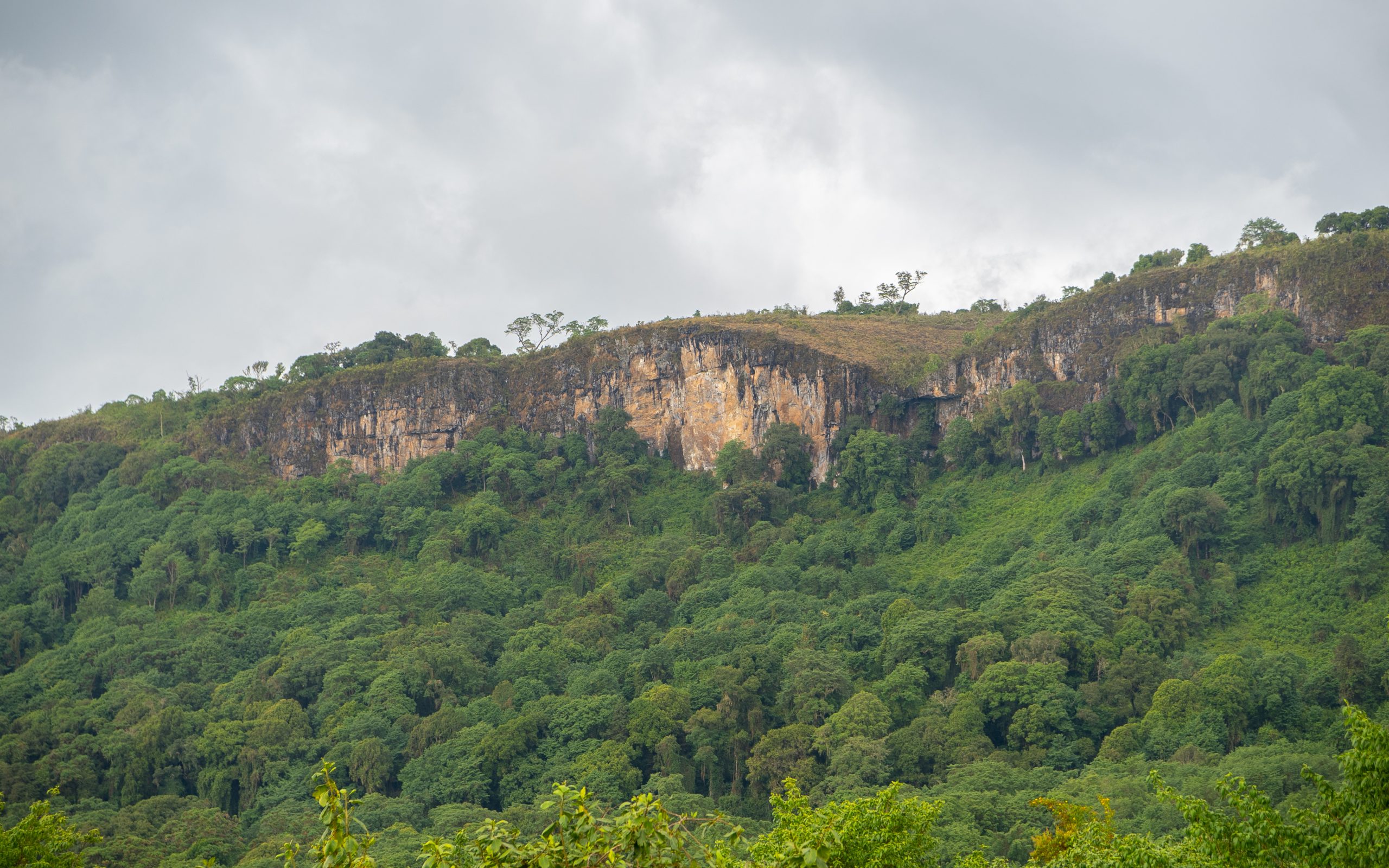
Rwenzori is the highest mountain block in Africa. It’s one of the best for hikers in the world. The climbing at times is a tough experience, but a thrilling one—one of the things one should explore before leaving the world. Mount Rwenzori features a unique rift valley floor that is not volcanic, unlike other mountains in Africa. It’s divided into altitude zones with microclimates, including fauna and flora.
Mount Rwenzori boasts a number of bird species that are endemic to the area, such as the black eagle, long-eared owl, greenbul, handsome francolin, cinnamon-chested bee eater, and many more.
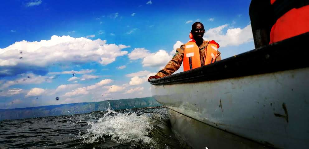
Mount Rwenzori offers a stunning view of nine of Uganda’s great lakes within its valleys, with flora, fauna, and vegetation changing on every climbing stage.
The mountain is less crowded; unlike other trekking locations around the world, it provides a genuine experience of the whispers of the wild.
Rwenzori National Park was gazetted in 1991 and covers an area of 996 square kilometers. The highest peak rises to 5109 meters above sea level.
Mount Rwenzori is divided into six mountain ranges, which are bisected by lush green valleys; although there are over 100,000 mountain climbers, only a few reach the highest peak, Margherita. The mountain covers a distance of about 120 kilometers.
Mount Rwenzori features several trails, including the Kilembe trail, which summits Margherita peak and takes about 9-10 days to hike up and down. Additionally, the central circuit trail leads to Elena Hut, offering magnificent views of the peak and requiring 7 days for the round trip.
At the base of the mountain, fig trees are present, followed by the Bamboo zone, the Mossy heather zone, and rocky grounds that lead to the peak.
The hike always starts up at Nyakalenjija past the Mubuku River to the Nyabitita hut; at the area you can rest as well as spot the chimpanzees and blue monkeys.
You trek to Nyamuleju Hut and pass over the Kurt Shaffer Bridge to view the magnificent Mubuku River, Mount Stanley, and Mount Speke. Ascend to the John Matte hut to spend a night there.
Lake Bujuku ascends through huge lobelias and heath trees to a rock shelter where you can rest a bit, known as the cooking pot, and then get to the final sleeping destination, which is Bujuku hut.
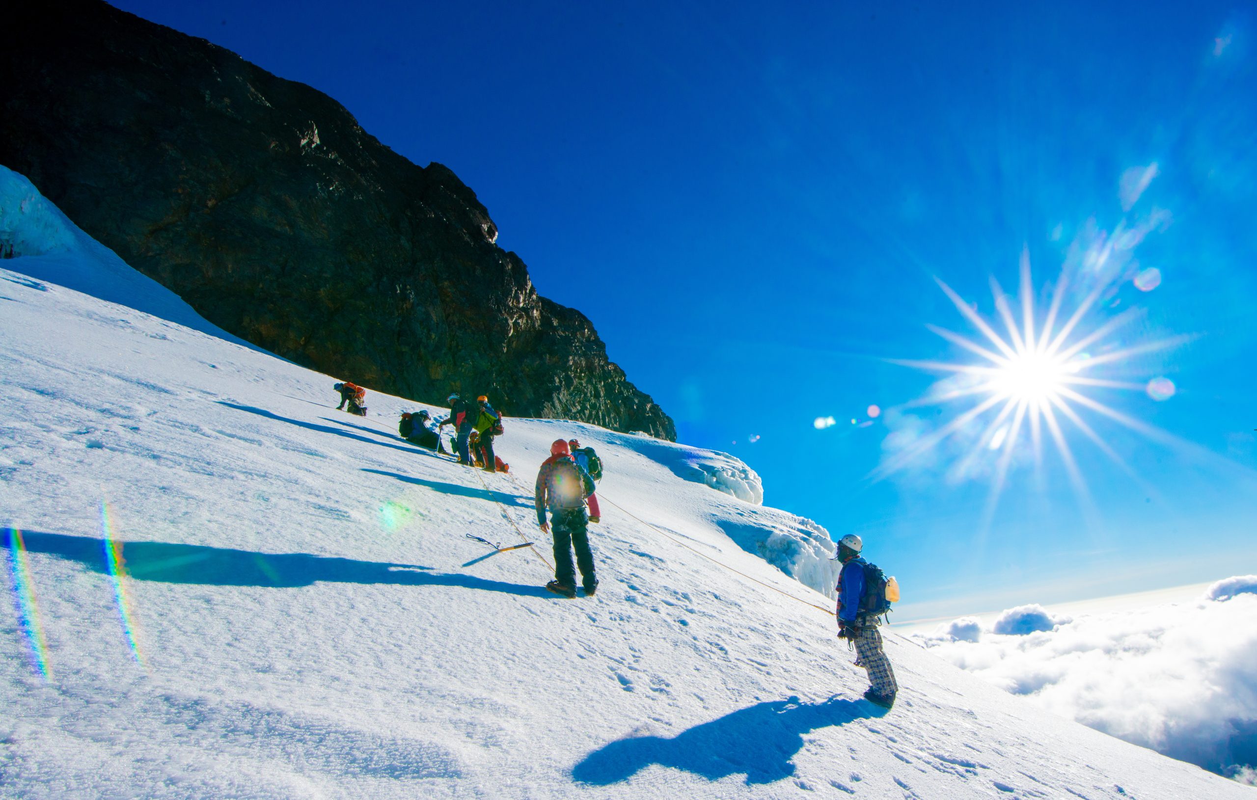
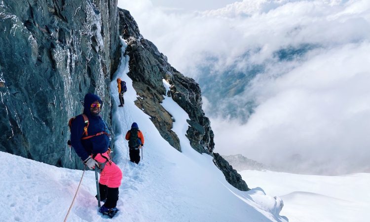
The ascent to Mount Victoria and Speke offers spectacular glacier views from Saviors and Elena Pass, as hikers pass through large groundsels and lobelias, navigate the snow to Scott Elliot, and finally reach Elena Hut for an overnight stay.
On the final day, you will pass through Nyakalenjinja and then ascend the mountain slopes to reach the Margherita hut, where you can dine and rest after your adventure to Uganda’s highest peak.
Mount Rwenzori is accessed within a 9-hour drive from Kampala, which is approximately 440 Kilometers from the city.
The Nyakalenjiji trail is located 22 kilometers west of Kasese and is signposted off the tarmac road leading to the Fort Portal highway. Tourists can also use air transport.
Tourists climbing Mount Rwenzori should carry good hiking shoes, insect repellents, warm clothes, trousers, a waterproof jacket, and much more.
Take about 2 liters of water per day; the potters will always collect and boil water every evening and cool morning hour. Mount Rwenzori offers breathtaking encounters; most of the people who are experienced mountain climbers have rated it as difficult to climb as Kilimanjaro, the highest peak of Africa.
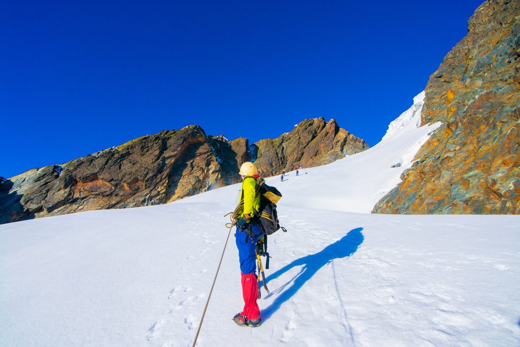
TThe Rwenzori mountain ranges feature permanent snow and three glaciers.
Mount Stanley/Margherita peak 5119 meters
Mount Baker 4845 meters
Mount speke 4889 meters
Mount Emin 4793 meters
Mount Gess 4799 meters
Mount Alexandria
Mount Luigi de savio 4627 meters
Those who are not experienced in climbing mountains should avoid the high peaks and instead take the loop trail, which takes about 6 to 7 days and reaches an altitude of 4377 meters. One should not attempt to climb the high peaks. The prices are subject to change at any time. Rainy seasons are the best time to visit because the trails become very muddy and slippery.
Related Posts